
Wayfinding Services
-
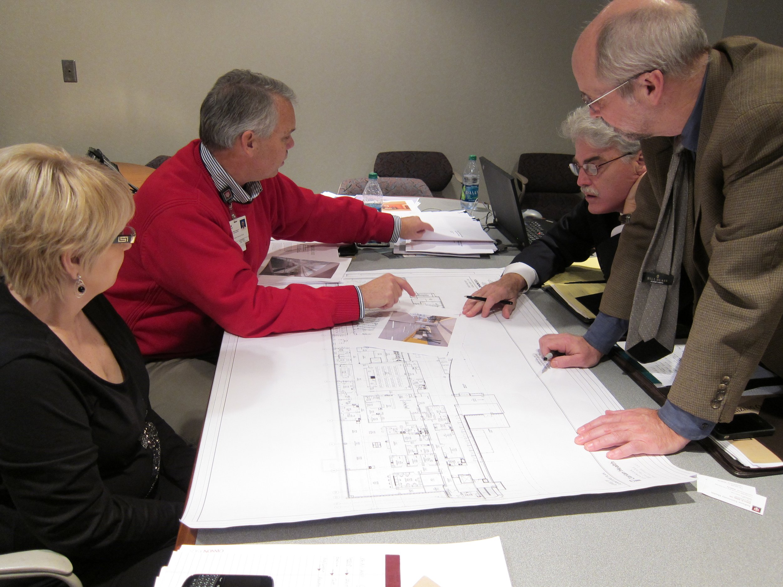
Conducting Wayfinding Design Reviews
Reviewing design documents at all stages of building procurement to help ensure that new or renovated buildings will be easy to navigate, and that signs and maps will be effective and easy to understand.
-

Analyzing Your Site & Facilities
Performing detailed “environmental analyses” of key components of your wayfinding system – such as circulation, signage, colors, landmarks, and lighting – reporting findings, and making preliminary recommendations.
-

Shedding Light on Customer Wayfinding
Conducting “user analyses:” interviews, focus groups, and surveys – with customers, staff, managers, and administrators – to learn how well your wayfinding system is working and how it can be improved.
-

Developing a Wayfinding Master Plan
Providing detailed recommendations, priorities, and cost estimates for design, operations, and technology that will improve your interior and exterior wayfinding system.
-

Planning & Designing Effective Signs
Designing directional and identification signs. Creating sign location plans and associated messages that identify every wayfinding sign, including sign type, location, messages, and arrows.
-

Planning & Designing Effective Maps
Designing You-Are-Here maps, Emergency Egress maps, website maps, handheld maps, and specialized maps.
-

Building Operational Programs that Support Wayfinding
Putting together operational programs that support your wayfinding system, including training staff, communicating directions-related pre-visit information, and managing the wayfinding system itself as circumstances inevitably change.
-

Integrating Wayfinding Technology
Analyzing the fit between your goals, user needs, and wayfinding technology products (such as digital signage, interactive maps, kiosks, and smartphone apps).
-

Reviewing Directional Information on Your Website
Recommending improvements to the wayfinding-related information on your website.